

Sentinel staff report–
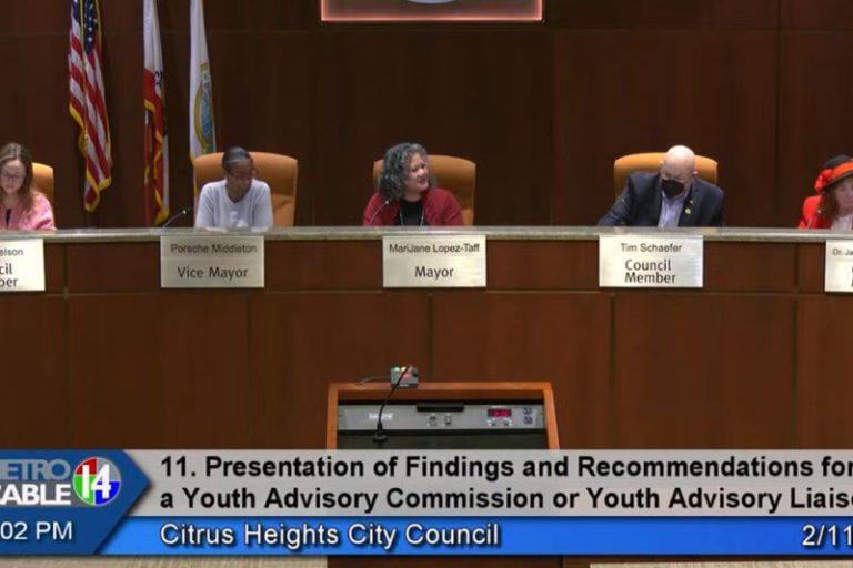
As part of plans to re-consider City Council district lines in light of 2020 Census data, the council held a public hearing Thursday night and heard input from a demographer on the city’s racial and population makeup.
Robert McEntire, a senior consultant with National Demographics Corporation (NDC), said each council district will need to contain roughly 17,570 people, to match the city’s total population of 87,850, as of the 2020 Census.
The current districts range in population from 17,075 to 18,106, which McEntire described as a small enough variance that the city’s existing map “is legally compliant and could theoretically be re-selected if the council so chose.”
Additional criteria include prohibitions on racial or political gerrymandering in drawing lines. McEntire said NDC did not look at political demographics, but showed concentrations of various racial groups in the city, and said it would be impossible to create a council district where “historically marginalized” groups could have a voting majority.
“What you see is the blocks in Citrus Heights are spread out for Latino voters, so it’s very difficult, or, impossible in fact, to draw a council district where Latinos would have a citizen-voting-age majority,” said McEntire, noting a similar result when looking at Asian-Pacific Islander and African-American populations.
A representative from Citrus Heights Area Seven Eight & Nine (CHASEN) submitted the only public comment heard during the hearing, via email, stating her neighborhood area’s line up exactly with District 2, and requested the council keep the current lines for her district.
“Our group is very active with a good participation from all areas — therefore involving the entire District,” wrote Kathy Morris on behalf of the full CHASEN board of directors. “We believe the current district structure works well and encourage retaining the District 2 as currently configured.”
In comments following the public hearing, Vice Mayor Tim Schaefer said he favored keeping the current council district boundaries, noting the maps meet population requirements and were recently adopted in 2019 when the city transitioned from at-large to “by-district” voting.
The city transitioned to by-district voting three years ago after receiving a lawsuit threat that alleged the city was in violation of the California Voting Rights Act. The act favors by-district voting as a way to ensure minorities concentrated in certain areas do not have their votes diluted through “at-large” voting.
Although no decision was made on map selection during Thursday’s meeting, Councilwoman Jeannie Bruins said she also favored keeping the existing maps.
“Since they are balance, why make more work than we need to,” she said.
There was some discussion from council members Bret Daniels and Steve Miller regarding why interactive mapping tools were not made available to the public, as they had in the past. The city clerk noted additional costs were a factor in not having an interactive map to allow the public to redraw lines and see population breakdowns.
Currently, the city’s existing district map can be downloaded and printed, with members of the public invited to hand draw or digitally submit revised boundaries. Draft maps will then be reviewed by DNC, with population and demographic information added to each map.
Following input from City Manager Ashley Feeney, the council opted to consider paying for the mapping tool to be added based on whether there is demand for it from the public during an upcoming March 3 workshop.
As legally required, three more public hearings will be held during upcoming council meetings on Feb. 24, March 10 and March 24. Draft maps will be released prior to the public hearing on Feb. 24, and will be discussed and revised during that meeting.
A final map will be adopted following the fourth public hearing on March 24, according to a timeline adopted by the council during Thursday’s meeting. More information and maps can be found at www.citrusheights.net/redistricting.

